Mapping the environmental factors that influence health in neighbourhoods
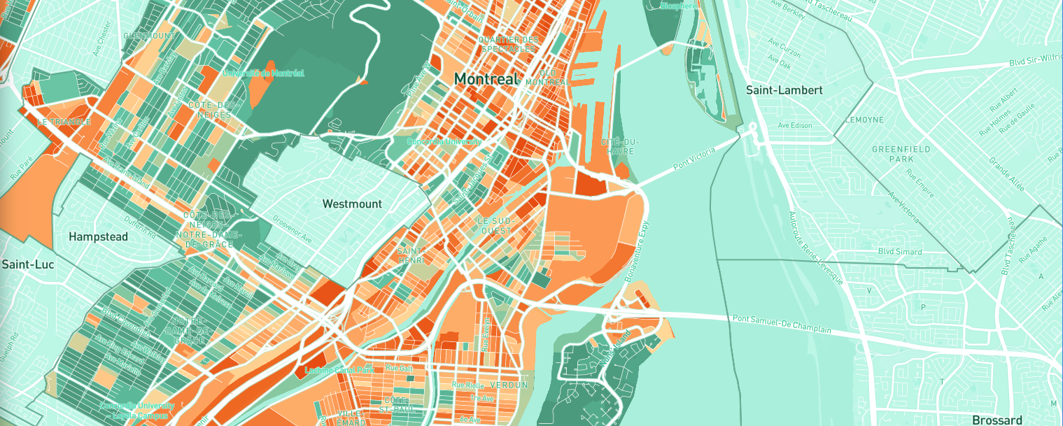
HealthyPlan.City is an interactive mapping tool that shows environmental inequities affecting vulnerable populations in Canadian cities.
The impacts of climate change are increasingly felt in Canada's urban centres. In addition, environmental risks such as those resulting from a changing climate are not evenly distributed across the different neighbourhoods of Canadian cities, and certain populations are more vulnerable to these risks.
Now, a new tool combines environmental datasets from different sources with demographic data from the Canadian census to present a portrait of environmental equity in over 125 cities across Canada. It identifies avenues for tackling climate change risks and environmental inequities while improving public health.
HealthyPlan.City is a bilingual web application accessible to all, which enables users to:
- map 25 demographic and environmental indicators in 129 Canadian cities;
- visualize how these environmental indicators affect various vulnerable populations;
- compare the performance of Canadian cities in relation to environmental inequities, using nationally standardized data.
"HealthyPlan.City maps areas where vulnerable populations, such as the elderly, people living alone and low income individuals are exposed to higher temperatures due to summer heatwaves, poorer air quality or less access to parks and green spaces. It's a tool that cities, urban planners, public health professionals, community stakeholders and policy-makers can use to prioritize areas and neighbourhoods in their investments," says Dany Doiron, PhD, research associate at the Research Institute of the McGill University Health Centre (RI-MUHC) and co-director of the HealthyDesign.City project.
HealthyPlan.City was designed by a team of experts in environmental health and data science led by Dany Doiron at the RI-MUHC and Jeffrey Brook, of the Dalla Lana School of Public Health at the University of Toronto and is supported by the Public Health Agency of Canada (PHAC).
Dany Doiron and Jeffrey Brook are also the co-directors of the Canadian Consortium for Urban Environmental Health Research (CANUE), a project funded by the Canadian Institutes of Health Research and that has been key to the creation of HealthyPlan.City. Since 2016, CANUE has been generating and collecting environmental exposure datasets and making them available to Canadian researchers.